
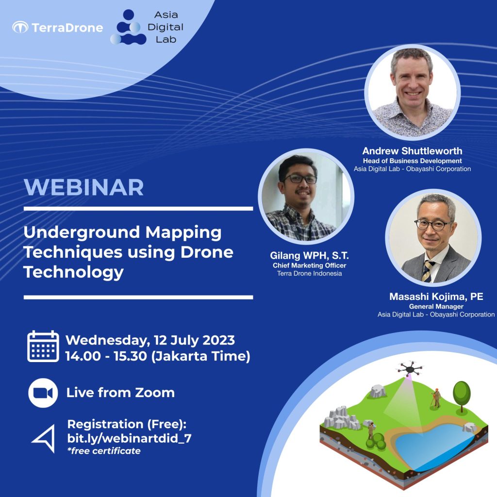
Are you interested in the latest innovations in underground mapping? Join this webinar to discuss the application of drone technology in underground mapping. You will learn about the usage of drones, their applications, specialized sensors, data processing, and the benefits they offer. It is suitable for mapping professionals, archaeologists, mining experts, and anyone interested in drones and underground mapping.
The webinar will be conducted in English and Indonesian.
Date & time: Wednesday 12 July, 14.00-15.30 (Jakarta time)